A QGIS plugin for shoreline change analysis
QSCAT offers the following features: shoreline change, area change, forecasting, automator, visualization, and summary reports.
View on QGIS.org View on Github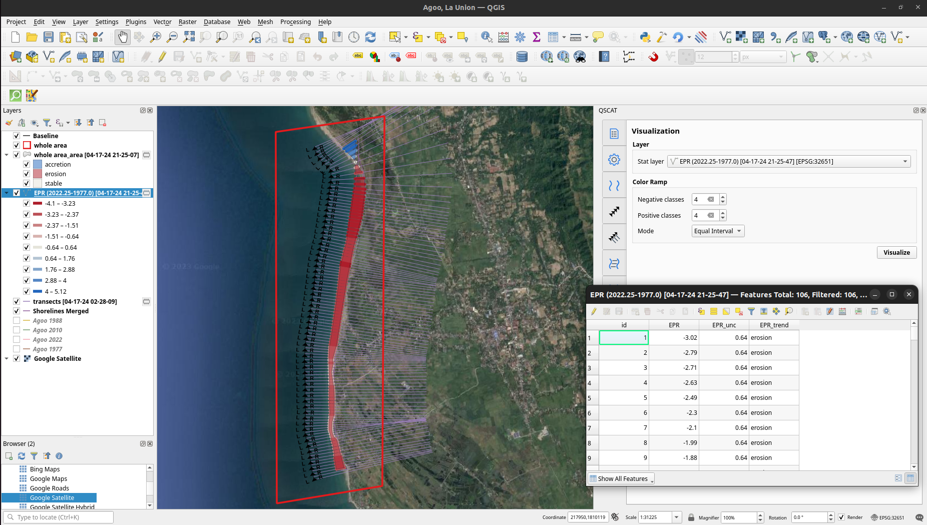
QSCAT offers the following features: shoreline change, area change, forecasting, automator, visualization, and summary reports.
View on QGIS.org View on Github
The easiest way you can install QSCAT is through inside QGIS plugin repository. The instructions are shown below. You can also install from zip. Note that we currently support QGIS versions: 3.22.16, 3.34.5, and 3.36.1 (see Requirements).
